|
GMTB Workflow Documentation
|


|
|
GMTB Workflow Documentation
|
|
Public Member Functions | |
| def | __init__ (self) |
| def | set_fig_params (self) |
| def | draw_map (self) |
| def | save_figure (self, outdir) |
| def | fill_field (self) |
| def | scale_field |
| def | contour_field (self, var, field) |
| def | wind_field (self) |
| def | coord_str |
| def | plot_title (self) |
| def | display_map (self) |
| def | run (self) |
Public Attributes | |
| params | |
| area_flag | |
| barbs | |
| myvar | |
Class that generates all of the generic parts of a map figure.
| def maps.general_map.__init__ | ( | self | ) |
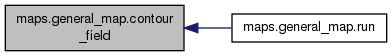
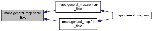
| def maps.general_map.contour_field | ( | self, | |
| var, | |||
| field | |||
| ) |
Draw field contours. Does not have to be the main field being processed. Mostly plotting height.
Definition at line 277 of file maps.py.
References maps.make_basemap.level, maps.make_basemap.lon, maps.make_basemap.m, maps.general_map.myvar, maps.general_map.params, and maps.general_map.scale_field().
Referenced by maps.general_map.run().

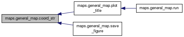
| def maps.general_map.coord_str | ( | self, | |
| coord, | |||
title = True |
|||
| ) |
Determine how to label the vertical coordinate based on the contents of the grib file, or other
   information.
Definition at line 342 of file maps.py.
References maps.make_basemap.field.
Referenced by maps.general_map.plot_title(), and maps.general_map.save_figure().
| def maps.general_map.draw_map | ( | self | ) |
Make figure
Definition at line 146 of file maps.py.
References maps.make_basemap.lon, maps.make_basemap.m, and maps.general_map.params.
Referenced by maps.general_map.run().

| def maps.general_map.fill_field | ( | self | ) |
Color-fill the field of the figure being plotted
Definition at line 202 of file maps.py.
References maps.make_basemap.field, maps.make_basemap.level, maps.make_basemap.line, maps.make_basemap.lon, maps.make_basemap.m, maps.general_map.myvar, maps.general_map.params, and maps.general_map.scale_field().
Referenced by maps.general_map.run().
| def maps.general_map.plot_title | ( | self | ) |
configure plot title
Definition at line 362 of file maps.py.
References maps.general_map.coord_str(), maps.make_basemap.fhr, maps.make_basemap.field, maps.make_basemap.level, maps.general_map.myvar, and maps.general_map.params.
Referenced by maps.general_map.run().
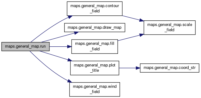
| def maps.general_map.run | ( | self | ) |
Definition at line 407 of file maps.py.
References maps.general_map.contour_field(), maps.general_map.draw_map(), maps.general_map.fill_field(), maps.make_basemap.height, maps.general_map.plot_title(), maps.general_map.wind_field(), and maps.make_basemap.winds.
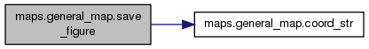
| def maps.general_map.save_figure | ( | self, | |
| outdir | |||
| ) |
save figures
Definition at line 171 of file maps.py.
References maps.general_map.area_flag, maps.general_map.coord_str(), maps.make_basemap.fhr, maps.make_basemap.field, maps.general_map.myvar, and maps.general_map.params.
| def maps.general_map.scale_field | ( | self, | |
scale = None |
|||
| ) |
scale field values
Definition at line 263 of file maps.py.
References maps.make_basemap.field.
Referenced by maps.general_map.contour_field(), and maps.general_map.fill_field().
| def maps.general_map.set_fig_params | ( | self | ) |
Definition of parameters for plotting standard maps.
   The top level variable name must match the "shortName" used in the grib file.
   Each variable has a
   subdictionary for various height levels to define either int/min/max values,
   or contour values directly. Other options that the scripts use:
       cbar: user-specified color tables
      scale: a scale factor (should start with an operator (*,/,+,-)
       unit: a string for unit if the one in the grib file is inappropriate
    varname: option for using a variable name different than that in the grib file
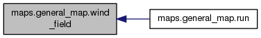
| def maps.general_map.wind_field | ( | self | ) |
Plot the wind field in barbs. Masks are applied here to thin
   the quantity of barbs plotted for clarity
Definition at line 317 of file maps.py.
References maps.make_basemap.m, maps.general_map.params, and maps.make_basemap.winds.
Referenced by maps.general_map.run().
| maps.general_map.area_flag |
Definition at line 328 of file maps.py.
Referenced by maps.general_map.save_figure(), and maps.make_basemap.set_bm().
| maps.general_map.myvar |
Definition at line 390 of file maps.py.
Referenced by maps.general_map.contour_field(), maps.general_map.fill_field(), maps.general_map.plot_title(), and maps.general_map.save_figure().
| maps.general_map.params |
Definition at line 44 of file maps.py.
Referenced by maps.general_map.contour_field(), maps.general_map.draw_map(), maps.general_map.fill_field(), maps.general_map.plot_title(), maps.general_map.save_figure(), and maps.general_map.wind_field().
 1.8.10